Stereographic
Advertisement
SHPTRANS v.1. 1. 2004
SHPTRANS is a fast, high-precision NTv2 datum transformation and projection utility which reads and writes shapefiles. SHPTRANS is intended to complement, not replace, existing projection tools such as those within ArcView GIS 3.x and ArcGIS 8.x.
Advertisement
Wolfpack v.7.1.3
WolfPack software is for educational use. It includes: -Wolfpack.exe: The executable program. -Wolfpack.
PHOTOMOD GeoCalculator v.4.4.682
PHOTOMOD GeoCalculator is the software for points coordinates transformation, included in the PHOTOMOD system, as well as a stand-alone free application.
GeographicLib v.1.22
Geographic conversion made easy. GeographicLib is a small set of C++ classes for performing conversions between geographic, UTM, UPS, MGRS, geocentric, and local cartesian coordinates, for geoid height calculations, and for solving geodesic problems.
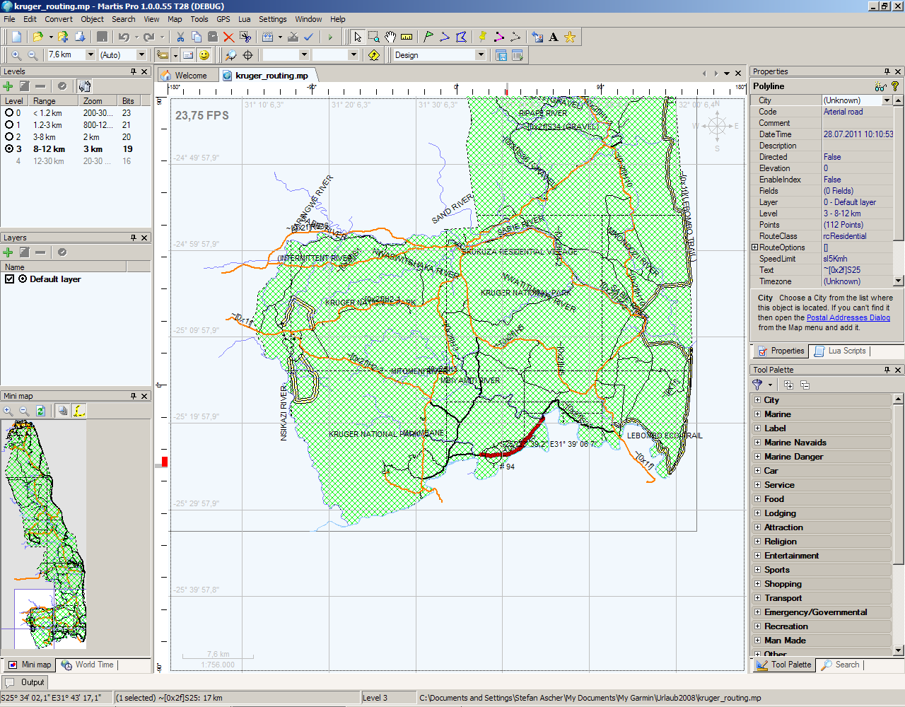
Martis Lite v.1.3.1.115
The Martis application was designed to be is a software program that lets you create and edit GPS vector maps visually with the focus on Garmin devices and maps.